
I recently came across this list of Parks Canada places on Street View and was blown away!! Admittedly, I’m a huge GeoGuesser Nerd, it I think the things seem on this list might make anyone a fan of Geography!
I couldn’t believe some of these places were on the planet Earth, let alone Canada. From the far Northern reaches and east to west coast these “street” views are breathtaking!
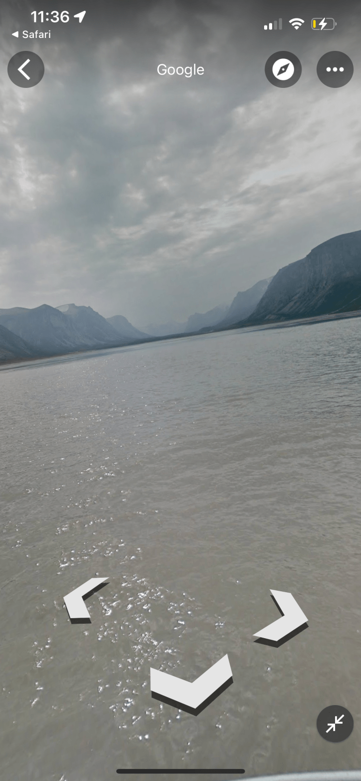
It would be really fun to explore online through your zoom (or other platform) meeting. They are engaging just to look at, but it would be a great tool for many learning games such as:
- Nature ID
- Geography Guessing Games
- Ask where in Canada they think they are and then zoom out to reveal the answer
- Follow the Leader
- Scavenger hunt
Also a great way to explore the absolutely amazing and diverse ecology that Canada has to offer. Some things you could talk about:
- What kind of climate do you think this place has?
- How could climate change affect this area?
- Who lived on this land before the Europeans arrived? You can investigate at WhoseLand
- How do you think certain formations evolved? –The Parks Canada website for each location will provide some answers.
- Which place would you travel to?
- What kind of trip would you take there? Camping, tripping, backpacking, B&B, hotel, etc.
- What thing could you do there? Parks Canada will have lots of information.
Check it out at:
List of Parks Canada places currently within Street View
— Read on www.pc.gc.ca/en/multimedia/cartes-maps/sec02
You can also learn more about the process of the Parks Canada Street View Project here: https://www.pc.gc.ca/en/multimedia/cartes-maps/sec01
